About MINT
Overview
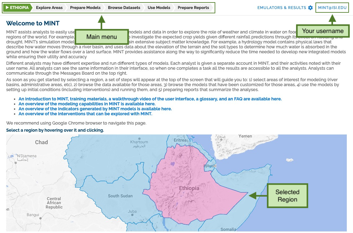
MINT assists an analyst to easily use sophisticated simulation models and data in order to explore the role of weather and climate in water on food availability in select regions of the world. For example, an analyst can use MINT to investigate the expected crop yields given different rainfall predictions through its effect on flooding and drought.
MINT's simulation models are quantitative and contain extensive subject matter knowledge. For example, a hydrology model contains physical laws that describe how water moves through a river basin, and uses data about the elevation of the terrain and the soil types to determine how much water is absorbed in the ground and how the water flows over a land surface.
Different analysts may have different expertise and run different types of models. Each analyst is given a separate account in MINT, and their activities noted with their user name. All analysts can see the same information in their interface, so when one completes a task all the results are accessible to all the analysts.
Capabilities of MINT
To enable these kinds of explorations, MINT contains a range of hydrologic, agricultural, and economic models as well as a wealth of regional-level data needed to run those models.
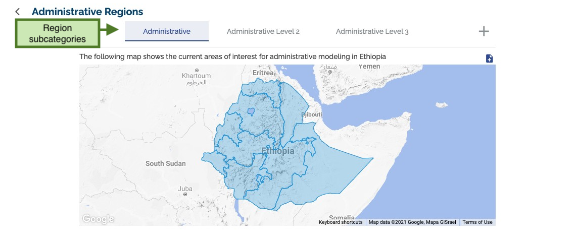
MINT shows pre-defined areas such as river basins for hydrology modeling, cropland areas for agriculture modeling, and administrative regions for economic modeling.
A user can browse MINT's Model Catalog to see the models available, their characteristics, their data needs, the processes they represent along with the variables involved in those processes, and the results they produce.
A user can browse the MINT's Data Catalog to see all the datasets available. MINT is pre-populated with datasets relevant to modeling in the pre-defined regions.
MINT guides an analyst through necessary steps to select and setup a model thread to run by offering sensible choices based on the analyst's previous selections and information about the models and data.
Once models are run, analysts can visualize the results and include these visualizations as well as their provenance details into dynamic interactive reports.
Analysts can share their modeling results with others, request results from others, and discuss how to coordinate modeling tasks for consistency through a message board.
Applications
Food Security Assessment
Applied by the Defense Advanced Research Projects Agency (DARPA) to assess food insecurity in Ethiopia, running 1.2 million simulations to enable experts to model food production and distribution scenarios.
This implementation allowed researchers to explore different interventions and their impacts on food security, helping policy makers with evidence-based decision making.
Climate Resilience
Adopted by the Planet Texas 2050 project to design solutions that make Texas communities more resilient and better prepared for present and future climate-related challenges.

Learn More About MINT
Interested in learning more about the MINT project or exploring how it could help with your specific challenges? Visit the official MINT documentation or contact us for a discussion.